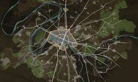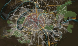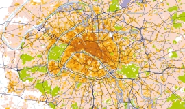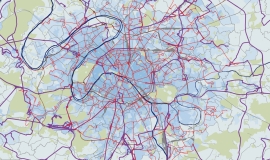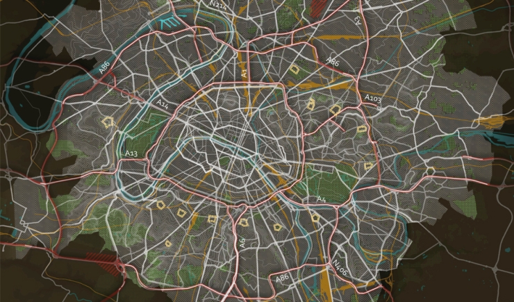
During the twentieth century the motorway network grew bringing regions far afield closer together while creating great division locally.
In 1900 the car industry developed and the Parisian underground -Métro- was built. In 1934, Henri Prost proposed the first plan for motorways in the Seine Department.
As from 1950, urban expansion favoured the separation of traffic flow and transformed the local road system.
In the 1960s, the state built a motorway network linking the entire nation, as well as two airports, Orly (1948) and Roissy (1974). Towns and cities adapted themselves to cars.
In the 1970s came the creation of new towns and the extension of high speed road networks with the creation of the circular A86 which has not yet been completed. These roads offered car-drivers views of the great metropolitan landscape.
Today these infrastructures run through built up areas and fragment the territory into patches of towns without guaranteeing easy access.
In Apur's study on the overall landscape - grand paysage -, Bertrand Warnier describes the main road and railway infrastructures thus : ” They form a new underlying framework for the metropolis. They mark out traces of the modern era. They cut through the territory using different geometrical systems to those of past periods. Most of the lines are curved. There is therefore a landscape potential to be enhanced as these big motorways become shared spaces. Technical evolution and changing needs can also lead to works of art with not only a technical function but which contribute to the visual identity of the city”.
This map is a detail taken from the study The road network in the heart of the conurbation – Phase 1: shared diagnostic carried out together by Apur, DRIEA, Societé du Grande Paris, the General Councils of Val-de-Marne and Seine-Saint-Denis, the City of Paris, and with the support of the General Council of Hauts-de-Seine and the Île-de-France public transport company STIF.

