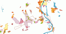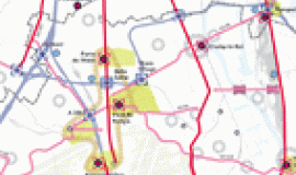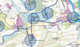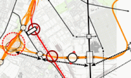
The task of piecing together the development projects for areas around Seine Amont and the Orly hub was carried out by Apur as part of their study agreement with EPA-ORSA , over the years 2010 and 2011.
This inventory of projects was made at a time when OIN ORSA was actively developing both its territory and transport systems. Urban projects such as those in Les Ardoines and Ivry-Confluence, the numerous ANRU (National Agency for Urban Renovation), redevelopment around the airport, the creation of new roads and the setting up of the RD7 and RD5 tramways are all projects which contribute to developing the area, combining and redefining existing districts.
Each operation is illustrated and presented with elements of its program and schedule, thanks to the close collaboration between developers, municipalities and the principal actors of this extensive territory. Collecting the files took place alongside the piecing together of detailed maps specifying the types of building and public space operations involved. The overall result allows one to understand the changes underway or needing to be studied and the future evolution of projects to come that deal with housing and the living environment.
Collecting the data on the Orly Rungis-Seine Amont area was finalised in December 2011. It will continue to be monitored and updated regularly.


