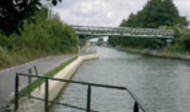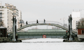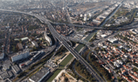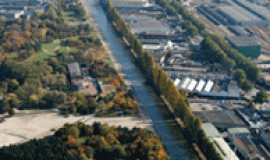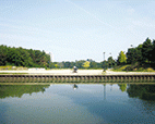
In its wider section, which stretches for 11 kilometres from Paris to Les Pavillons-sous-Bois, the Plaine de l'Ourcq has been undergoing unprecedented urban transformations whose coherence will be greatly increased under the SDRIF Île de France Regional Guidelines which with the creation of new stations, the redefinition of the ex-RN3 road and the Territorial Development Contract for Eastern Greater Paris – CDT d’Est-Ensemble – is firmly committed to “The Making of Greater Paris / Fabrique du Grand Paris”. Over 60% of the canal-side land is being taken over by development projects and one can see how the ways in which it is used are evolving all along the canal. With the 2020-2030s on the horizon, most areas of this section, bordering the Ourcq Canal will be redesigned.
It is in this context that all the public bodies involved wished to provide themselves with a landscape, usage and development charter for the “Wider stretch” of the Canal de L'Ourcq when they met at the alliance conference “Ourcq in motion – L'Ourcq en mouvement -”, in June 2013. The charter was drawn up by Apur, within a partnership framework, and is the outcome of a collective think-tank process carried out by East Greater Paris – Est-Ensemble, the Regional Council of Seine-Saint-Denis, the City of Paris in liaison with the communes of Pantin, Bobigny, Romainville, Noisy-le-Sec and Les Pavillons-sous-Bois.
The Charter is designed to be a tool for drawing up a common project for the canal which is able both to define the guiding principles necessary for constructing the content of the overall project and a framework for exchanges between all the key players. This new context allows common objectives, which form the foundations of the overall project, to be established.
It is made up of four parts:
- a common vision of the canal's “identities”;
- development objectives over a number of time spans;
- a forward looking vision which integrates territorially-based measures with the dynamics of local activity already underway and initiatives to come;
- organising a shared “governance” of canal areas and specific local authority projects.
The action proposed in the chart will contribute to a better understanding of the RN3/Canal territory, and more widely of the Plaine de l'Ourcq, as a major and significant site in the construction of the metropolis.
Contents:
- The canal: one territory, multiple identities
- Three major shared objectives
- A forward looking vision which takes in territorially-based measures
- Collectively defined initiatives and shared “governance”
- Appendix

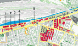
![Aerial view of the Ourcq Canal © ph.guignard[at]air-images.net Le canal de l'ourcq, contribution pour un paysage partagé](https://www.apur.org/sites/default/files/styles/270_160/public/images/publication/a-la-une/canal_ourcq_paysage_partage_actu_0.gif?itok=RlsKSAAS)
