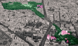
As part of the building strategy being drawn up for the decentralised collegiate university community, ComUE PSL, Apur produced a digital version of the Building Atlas describing the main construction layout within a outside Paris.
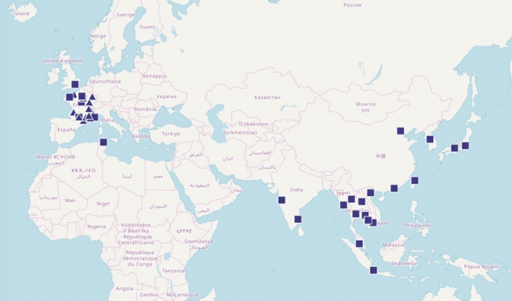
The ComUE PSL (Paris Science et Lettres University community and establishments), one of the principal centres of excellence for research and training in Île -de-France, commissioned Apur in 2015 to produce a Building Atlas describing the main construction layout within and outside Paris, including the 25 member PSL establishments as well as their research and training activities.
As complementary to the paper version of the atlas, an interactive digital version has been developed that takes the the form of two applications one presenting an index by establishment and another which is indexed thematically.
The applications are based on detailed databases covering the entire ComUE PSL and contain, apart from the data on the teaching and training premises, information about student services (university refectories, student residences, health services). These databases have, in particular, been fed by the results of detailed questionnaires addresses to each of the 25 establishments, and added to by a series of interviews with those responsible for these facilities. This information has been contextualised using databases available to Apur (facilities, transport, urban projects, commerce, economy, housing…).
An interactive digital version has been set up in addition to the paper version. It duplicates most of the maps, files and commentaries put together for the Atlas in two parts:
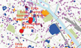
- a first application offers access to all the establishments listed. There is a map of each of the 25 ComUE PSL establishments showing all their construction layouts. The interactive map makes it possible to navigate on the scale desired and to explore and interrogate each layout. A photo and a descriptive file can also be printed out.
- the second application offers access via a thematic index and reproduces all the content of the last three chapters of the paper version (research and training, services offered to students, projects). For example, by choosing specific research themes, users could display all the constructions layouts of PSL establishments that do research, training, which have laboratories or facilities of excellence or libraries.
The background map is an Apur background map of the Grand Paris Metropolis, which makes it possible to obtain detailed information on the scale of street blocks. Beyond this perimeter an Open Street Map is used.
These applications were developed from a model proposed on the ESRI ArcGis OnLine, that Apur adapted in order to respond to the specific problematic of higher education and research.
Credits: Apur, PSL, EPAURIF

