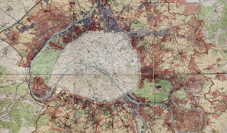
Have fun travelling through time in and around Paris with just a few clicks. This new interactive tool offers chronologically ordered maps of Paris and its surrounding areas from the 18th century up to the present day.

Old maps dating from Abbé de la Grive (1731-1741) right up to modern maps, show the urban evolution of the Parisian metropolis (Cassini, Chasses du Roi, Verniquet, Vasserot, Piquet, State, Lefèvre, Paris Land Plot Maps, the Communal Atlas of the Seine Department and successive topographical maps).
Each map is accompanied by reading material which enables one to contextualise it, giving chronological references that explain societal facts and the contemporary urban development work in the area covered.
With the application one can at any moment superimpose structuring elements of the present-day map (buildings, land plots, street blocks, administrative boundaries, etc.) as well as Paris’ historical boundaries, so each person can have a customised result and a visualisation that best suits them.
The tool allows a detailed display of up to 1/1000 scale and also includes various location options and a Street View link.
The application was developed from an older “historical maps” version, whose interface has been redesigned and the contents considerably enriched.
We would like to thank all the partners who have contributed, particularly by providing maps and giving feedback within the framework of developing this tool.
