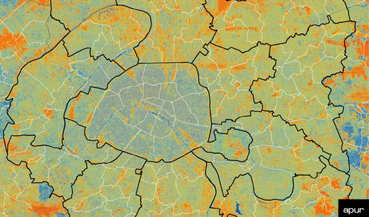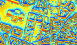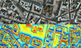
The Solar Registry is a map of annual sunshine. Each location on the map, based on a 2012 digital elevation model (DEM, InterAtlas), has a value calculated that translates the amount of solar energy (global solar radiation) into Kwh/m2/year, which gives the average annual duration of sunshine. The period of time depends on a number of parameters such as variations in altitude, orientation (slopes and exposure), as well as shadows created by topography.
The Solar Registry can be consulted via the interactive map of the Local Energy Plan.
Data on the average annual sunshine per building is available on Apur’s Open Data.


