An interactive map reveals the evolution of Parisian buildings
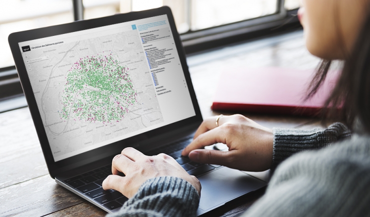
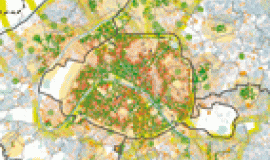
Numerous initiatives have been undertaken to turn Paris into a carbon neutral and sustainable city. Apur, in liaison with the City of Paris Department of Urbanism, created the first data visualisation tool of applications for urban planning and construction permits (PC, DP) which makes it possible to follow the trends underway.
A construction permit (PC) is obligatory for building on an area that exceeds certain dimensions (20 or 40 m2), and for any changes made to the facade or supporting structure linked to a change of use. Prior declaration (DP) is necessary for construction on areas below these limits when they change the exterior aspect of a building, for renovation of facades in the vicinity of heritage sites or for a simple change of use. In Paris applications for permits are studied and issued by the City of Paris Department of Urbanism. They are available online on opendata.paris.fr via a regularly updated file where all these data are compiled. The dematerialisation of urban planning and building permits registered at the Department of Urbanism thus provides data that makes it possible to follow activity on land plots throughout Paris. Apur proposes an online data visualisation where this can be explored.
To set up this body of work, a number of filters were applied to the data: the type of permit, permits issued, the period under consideration. Studying when these terms describing operations occurred, enabled key words to be defined that classify activities and put them into categories: work on existing building, new construction, change of use, thermal renovation, increase of height, exploitation of renewable energy REN resources, greening.
It is also possible to type any ongoing operation into the map and with a simple click to obtain a description from among the open data information.
A methodological note presenting the first results is also available.


