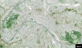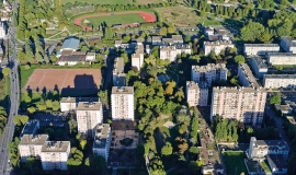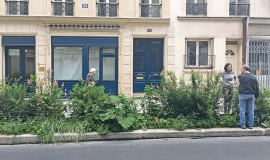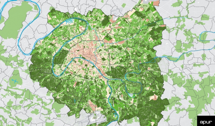
The presence of vegetation is a crucial issue for the adaptation of the metropolitan territory to climate change.
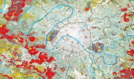
Showing the level of vegetation per street block allows all greened spaces to be combined, both public and private, so that not only existing parks, gardens and woods be taken into consideration, but all vegetation in and around built-up areas, making it possible for there to be a nature enhancement policy which not only adds public gardens but also calls for all non-built up space to fight against urban heat islands.
Grand Paris Metropolis’ green cover was obtained using image processing of high resolution aerial photographs. The level of vegetation indicated on the map is calculated by cross referencing the greened surface area with that of street blocks.


