Apur has published a datavisualisation compiling more than 50 indicators and data on inhabitants’ mobility in Grand Paris. This tool has graphic interfaces that makes it possible to visualise the dynamics in each of the 131 municipal Communes and to compare several municipalities or territories.
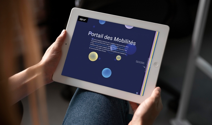
This tool aims to focus specifically on data that illustrates the mobility habits of inhabitants of a territory, a municipality or a neighbourhood, but also the options available to them in terms of the mobility offer (the evolution of household vehicle ownership, current and future access to public transport, cycling on offer) and access to hubs generating mobility such as jobs, services and shops.
Particular attention if given to analysing the motor vehicle fleet (based on ministerial data from the Statistical and Data Studies Department1) and particularly its categorisation by Crit’air, in order to understand the volume of the fleet potentially affected by the different stages of the Mobility Low Emission Zone - ZFE-m - being implemented.
The tool is organised in three parts:
- The first part, “data portrait”, proposes a data visualisation, an interactive tool for creating radars and infographics. A summary sheet outlining all the indicators of the municipality or territory being studied can be downloaded in pdf format.
- A second part, enables the spatialisation of mobility data via interactive maps accompanied by an analysis on a metropolitan scale. The maps present the development of public transport and bicycle networks, the local town or city, the place of the car and the metropolitan low emission zone.
- The third part, published in partnership with the DRIEAT and made in liaison with the MODUS tool, makes it possible to visualise accessibility from/to a neighbourhood, a municipality or a territory, travelling by road, using an active or public mode of transport, in the present situation and up until 2030.

