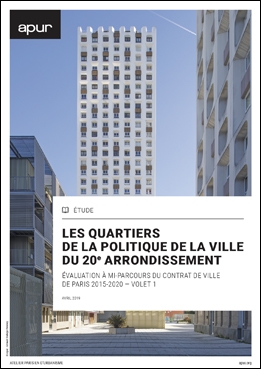
Update on recent trends in Parisian Priority Neighbourhoods.
In the context of accompanying the City of Paris in its mid-way assessment of the 2015-2020 City Contract, Apur has drawn up a description of the how things are evolving in the neighbourhoods of the Paris City Urban Cohesion Policy (in priority neighbourhoods and secondary priority neighbourhoods) and has built a frame of reference enabling the initiatives put in place to be assessed. With 367,000 inhabitants, these neighbourhoods represent 17% of the Parisian population and cover over 12% of the territory (1,276 hectares). This considerable amount of work was made possible thanks partly to the data collected and analysed over the past 15 years by the Observatory of Parisian Neighbourhoods of the City Policy, which is run by Apur.
The work carried out is organised into two volumes, plus a description of each district:
- Volume 1: the analysis of how priority neighbourhoods are evolving and their specific issues forms 12 documents.
- Volume 2: the City Contract assessment frame of reference.
Volume 1, presented here, proposes an analysis of the City Policy neighbourhoods in 3 parts each painting a portrait seen from a different angle. A summary of this work process is also available.
Part 1 proposes an analysis of specific characteristics of the Paris City Policy neighbourhoods and compares them with priority neighbourhoods elsewhere in Ile-de-France and France.
Part 2 looks at recent trends in priority neighbourhoods and secondary priority neighbourhoods in relation to the evolution of the Parisian territory as a whole.
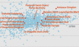
Part 3 analyses neighbourhoods facing difficulties which are outside the geographically defined priority areas.
In addition to these elements are the territorial analyses describing the situation and recent developments in priority neighbourhoods and secondary priority neighbourhoods district by district (10th, 11th, 13th, 14th, 17th, 18th, 19th et 20th districts).

