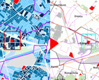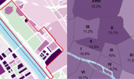
Since 2007 public data has for the most part been made accessible through the implementing rules of the European Directive INSPIRE (Infrastructure for Spatial Information in the European Community). Its principal objective is to encourage the exchange of data that deals with the environment, between members of the EU.
Public authorities and organisations involved in missions of general interest in the field such as Apur, have therefore had to publish series of geographic data and the associated metadata on internet – the latter being helpful when looking for, using or making inventories of data.
Apur's metadata has been accessible on the World Wide Web since December 2010 through the geocatalog of national geographical institution -géocatalogue de l'Institut géographique-, It has now also been made available by the EU geoportal Inspire and covers 7 data sets :
- administrative units,
- transport networks – road systems,
- buildings,
- addresses,
- altitude (height of buildings),
- altitude (height of vegetation),
- land use.

