Development indicators of public space in the vicinity of Grand Paris Express stations

June 2022, last updated 19 December 2023
Print Share

Apur has produced a series of maps, indicators and key figures which highlight the principal changes in public space expected in areas around the Grand Paris Express station neighbourhoods once the metro is operating.
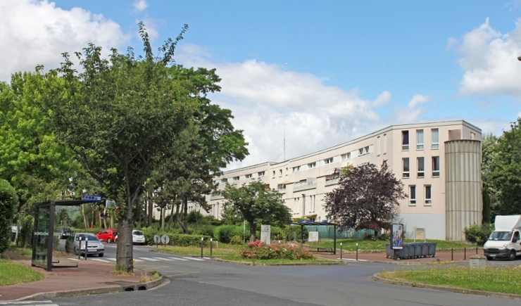
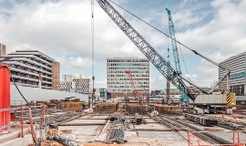
Les abords de la future gare d'Antonypole © Apur

This work makes it possible to analyse the changes planned in each of the Grand Paris Express station hubs in the development scenario selected from the completed studies launched by the Société du Grand Paris et Île-de-France Mobilités. These studies aim to define the intermodal development programme and facilities to be put in place within a 300 metre perimeter of future Grand Paris Express stations. The Hub Committees are currently being steered by 43 different local key players (local authorities, Departmental councils, Public Territorial Establishments…), each of which have chosen an urban design agency to propose a technical and financial programme of operations around a future railway station hub.

The analyses of changes in public space carried out by Apur are carried out in relation to issues linked to modal sharing, walkability, the reduction of splits in the urban fabric and nature’s place in the city. This work will contribute to emphasising the main issues and watch-points to be monitored during the implementation of development projects in hubs.  

The hubs of Courneuve Six-Routes, Saint-Denis Pleyel, Sevran Beaudottes and Sevran - Livry have already been analysed and published. Other station hubs will gradually be studied as the hub committees move forward.

Resources

Documents to download

  • Study

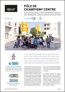
    Champigny centre Hub - Development indicators of public space in the vicinity of Grand Paris Express stations

    Format : pdf, 6.72 MB
    Download
  • Study

    Bagneux Hub - Development indicators of public space in the vicinity of Grand Paris Express stations

    Format : pdf, 8.65 MB
    Download
  • Study

    Antonypole Hub - Development indicators of public space in the vicinity of Grand Paris Express stations

    Format : pdf, 8.46 MB
    Download
  • Study

    Nanterre La Folie hub - Development indicators of public space in the vicinity of Grand Paris Express stations

    Format : pdf, 27.12 MB
    Download
  • Study

    Pont de Rungis hub - Development indicators of public space in the vicinity of Grand Paris Express stations

    Format : pdf, 14.79 MB
    Download
  • Study

    Courneuve Six-Routes hub - Development indicators of public space in the vicinity of Grand Paris Express stations

    Format : pdf, 20.84 MB
    Download
  • Study

    Saint-Denis Pleyel hub - Development indicators of public space in the vicinity of Grand Paris Express stations

    Format : pdf, 20.52 MB
    Download
  • Study

    Sevran Beaudottes hub - Development indicators of public space in the vicinity of Grand Paris Express stations

    Format : pdf, 15.2 MB
    Download
  • Study

    Sevran - Livry hub - Development indicators of public space in the vicinity of Grand Paris

    Format : pdf, 15.65 MB
    Download