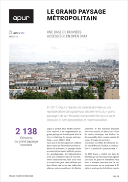
Apur has compiled a data base and made maps of elements of the metropolis’ “Greater Landscape - Grand Paysage”, which includes places from which they can be seen and recognised.

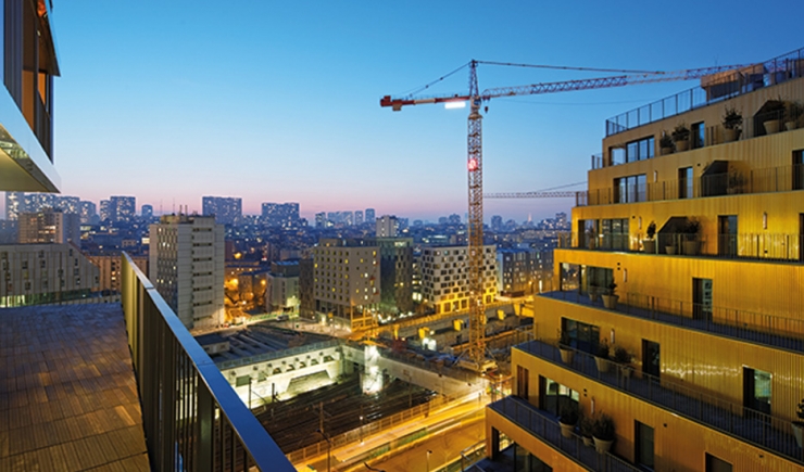
While the metropole affirms its existence on all fronts: social, urban and political, the urban landscape is sometimes constructed haphazardly as projects unfold. The “Greater Landscape” of the conurbation is not only defined by administrative boundaries but also by a much vaster territory encircled by hills, knolls, valleys, plateaux which form natural boundaries and distant horizons from where one can see over the rooftops of the historical centre, monuments and building complexes which make up landmark, points of reference within the territory.
Apur has produced a database listing these landmarks (all bridges and building complexes whose height contrasts with the surrounding urban fabric or is over 37 metres high) and belvederes from where these landmarks are visible and recognisable.
By inter-relating planning documents and urban studies (PLU,SCOT), these computerized and cartographic data should make it possible to assess how the Ile-de-France territory is evolving. Depending on where and what form of development is decided upon, future projects could improve or spoil the main characteristics of a landscape. The database covers the territories of four departments: Paris (75), Hauts-de-Seine (92), Seine-Saint- Denis (93), Val-de-Marne (94), as well as the Communes of Argenteuil (95), Athis-Mons, Juvisy-sur-Orge, Paray-Vieille-Poste, Savigny-sur-Orge and Viry-Châtillon (91).
This initiative has two parts. The first aims to identify places which offer unobstructed views of the metropolis’ “greater landscape”, the second addresses the question “What can we see?” and provides an inventory of landmark constructions.


