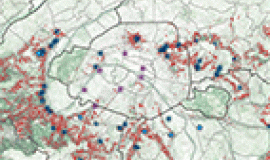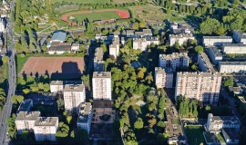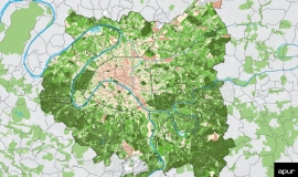
Modern, remote sensing technology provides a tool for acquiring and analysing geolocalised data. Apur has used very high definition aerial photographs since 2005 which have enabled a detailed and precise picture of areas covered by vegetation within the Parisian metropolis to be established and for its height from ground level to be calculated. The information resulting from this work has been invaluable for drawing up an inventory and monitoring the changing uses of space over time on all scales in both planar and relief imagery.
These high definition aerial photos have been regularly updated over the last ten years.
In 2016 Apur will update data produced by remote sensing technology covering an area of 4,000 km². The agency is continuing the work of processing high definition images from data acquired during aerial missions carried out in September 2015.


