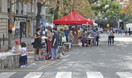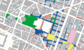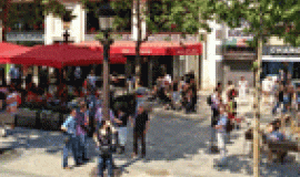
This study explores a time related approach to public space in order to identify the main rhythms of how it is used. It is a valuable addition to the very varied work that Apur coordinates on public space and its transformation as a new public facility: new uses, new forms of mobility, the installation of sports areas and the redevelopment of 7 squares…
The way public space is used at different periods of time is radically changing. Be it in the day, at night, during the week or at the week-end, in winter or summer, for children or senior citizens, activities which take place in public spaces never cease to vary. To be able to take these fluctuations into account implies knowing the rhythms generated by the ways public space is used.
The aim of this time based approach to public space is to identify the main rhythms of activities and to understand how they are articulated by analysing them chronographically (rhythms).
These rhythms reflect the manner in which the city and its public spaces, and to a large extent the uses are structured by their organisation in time. They imposes themselves onto the users of public space (inhabitants, workers, students, tourists, children, senior citizens…), with periods of time devoted to the most popular and recurring uses, activities and occupations. Through analysing the principal functions of urban life in relation to standard time reference periods (day/night, during the week/at week-ends, summer…), the study explores the following rhythms:
- The market city;
- The working city;
- Events in the city;
- The festive city;
- The mobile city;
- Construction work in the city.
The approach chosen for understanding the rhythms in public space is based on these six families alongside time indicators in order to highlight the time element in the ways that public space functions. It makes it possible to explore the available chosen time related data, their spatialization and the various ensuing interpretations. Based on these raw data, the study offers a collection of maps of public space “time markers” which are invaluable for understanding the uses, the way they interweave, the conflicts which are created and possible ways to evolve.
These markers can also help to orientate, chose and decide on the actions to be taken in public space and to manage, organise and improve their functioning. They can also target public spaces according to the rhythms of the way they are used (daily, seasonal, weekly), the variability and flux of activities in order to help organise and carry out operational policies particularly concerning the Paris Pedestrian Strategy.
This study forms one of Apur’s contributions to the Paris Pedestrian Strategy, with notable the study on Singular Places and Atlas of Parisian Public Space.

