What’s the plan for the -Grand Paris Grand Est- territory?
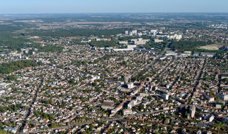
This publication presents all the documents produced in the context of the Agreement between the Paris Urbanism Agency -Apur- and the Ile-de-France Urbanism and Development Institute -IAU îdeF- which concern the territory : Grand Paris Grand Est.
This Agreement involves providing the government and local government representatives with support, information and help in understanding of the territory and its challenges.
The work led to this portrayal of the territory being put together. This was achieved through using our reference data base and the agency’s thematic studies, interviews with all the mayors of the territories’ Communes and the re-examination of Territorial Development Contracts (CDT) involving the Grand Paris Grand Est territory.


