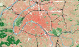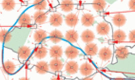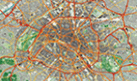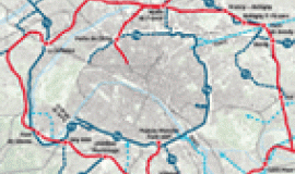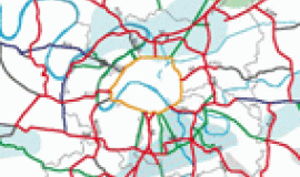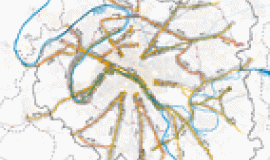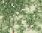
The study on the road system in the heart of the conurbation began in mid-2012 and was carried out in a context of numerous partnerships with the regional and inter-departmental administration for amenities and development DRIEA, the Grand Paris public transport establishment SGP, The General Councils of Val-de-Marne and Seine-Saint-Denis and the City of Paris, and with the support of the General Council of Hauts-de-Seine and the public transport syndicate STIF. As part of Apur's partnership programme the study aims to construct a coherent vision of public spaces throughout the heart of the conurbation based on a diagnosis shared with the key players in its transformation. The first phase of the study, completed in spring 2013, presents the diagnosis and related issues.
Organised around common map reading tools the assessment of the existing situation gives an overall view of the road network and public spaces. The presentation takes the form of an atlas which assembles the shared data bank containing physical and historical characteristics, the organisation, uses, landscape and urban context and also the changes underway. The study also has a thorough look at the question of access and feeder services to existing and future railway stations.
The study goes on to describe the urban typology of the road network from a forward-looking viewpoint which includes development and transport projects. The study will be finalised at the beginning of 2014 with the proposal of a strategic improvement programme for the road network which will follow five axes :
1. a master network of motorways and dual-carriageways to serve the territory and develop their uses;
2. urban boulevards as an urban framework in the heart of the conurbation;
3. optimised and co-ordinated organisation of logistics;
4. a comprehensive and user-friendly inter-communal linking network;
5. quality feeder services to train stations, giving space to eco-friendly means of transport.
The study makes it possible to define ways for improving travelling conditions in the heart of the conurbation, optimising the functioning of the road network and reinforcing its role as an urban framework for the metropolis.
Contents:
Chapter 1: Historical context: evolution of the network's role in the urban framework
Chapter 2: Physical characteristics of the present road system
Chapter 3: Analysis of the network via means of transport
Chapter 4: The road network, a constructive element in the overall landscape and supporting structure of green areas
Chapter 5: Urban framework and hubs
Chapter 6: Changes in the heart of the conurbation: urban and transport projects
Chapter 7: Accessibility and feeder services to existing and future railway stations of RGPE
First stages of evolution

