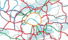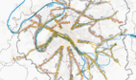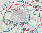
The study of the road network at the heart of the conurbation begun in mid-2012 is being carried out in partnership with the Grand Paris Transport and Development Organisation (SGP), the Ile-de-France Regional and Inter-departmental Department of Infrastructure and Development (DRIEA), the City of Paris, the Regional Councils of Val-de-Marne, Seine-Saint-Denis and Hauts-de-Seine, the Ile-de-France Region and the Department of Public Highways and Transport (STIF).
Phase 1 focused on drawing up a shared diagnostic, whereas phases 2 and 3 have resulted in a proposal for a prioritised urban road network, an analysis of malfunctions, the definition of projects and exploratory discussions about crosslinks. The final phase of the study consisted of workshops attended by the main developmental planners and key players, focusing on the future and organised around specific topics: urban logistics, feeder services to stations, the main network and the boulevards of the metropolis.
With the arrival of the new stations, the large transport projects have been re-examining practices governing the way public space close to these stations and in the surrounding neighbourhoods is being developed, in terms of both the evolution of the road network and accessibility by public transport and active modes of transport (walking, cycling…). These actions have made it possible to visualise the anticipated changes in working practices as well as the future importance of pedestrians, bicycles and buses.
This summary presents the main strategic lines of action resulting from these operations and discussions: the concept of piazzas and shared spaces in the immediate surroundings; the question of urban, station/city links, pedestrian walkways and signage; the organisation of multimodal connections between the station hubs and the various zones involving the sensitive issue of siting bus and coach stations and making space for user facilities, in particular for bicycles; finally, the vital interaction of projects, key players and systems of co-ordination. All through the exchanges, the examples of Vitry-Centre station and the Ardoines hub have served as models illustrating these questions.
As a result of the workshop, the idea of a much-needed “Guide to public space around the stations” was put forward to the Grand Paris Transport and Development Organisation (SGP), in order to gather together best practices and good advice relating to the implementing of the projects, for the use of project managers, collectivities and developers.
In addition to the official partners of the study, the workshop on the station feeder services brought together the Orly Rungis Seine Amont Public Development Organisation (EPA ORSA), the city of Vitry-sur-Seine, the Valode & Pistre agencies, Jacques Ferrier Architecture, STAR Strategies and the King Kong studio.
Contents:
- Proceedings of the workshop, 17 April, 2014
- Introduction
- Problems and issues concerning station feeder services
- How will the arrival of the Stations affect the road network and public space?
- How should the various projects and their key players coordinate?
- Exchanges and discussions
- Conclusion
- Participants of the workshop, 17 April, 2014

