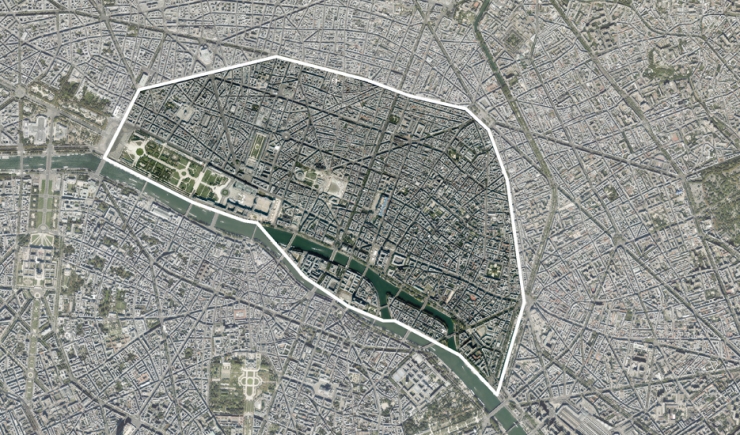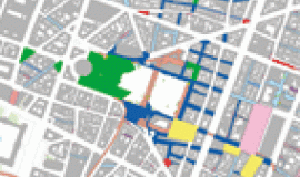
This collection gives an overall view of these Parisian districts in the form of maps and thematic charts. The impact of bringing together the 1st, 2nd, 3rd and 4th districts is documented by comparative figures and maps.
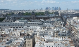
The first four districts of Paris are coherent from an urban point of view sharing Paris’ historical and urban heritage. They are districts with old buildings of great patrimonial value and where there is a concentration of cultural and touristic sites. They are also marked by a high job density and a huge commercial offer. This central area is particularly well served by public transport. The intensity of economic, touristic and commercial activity however puts great pressure on public space. Each of the four central districts cover the smallest surface areas and are the least populated. Altogether they represent 4.5% of the Parisian population that is around 100,000 inhabitants for 6.7% of the surface area of Paris. Compared with Paris as a whole, these districts are marked by an over-representation of young adults with relatively high incomes. In recent years one can note a drop in the number of people living there, linked to a rise in unoccupied housing units. From an environmental point of view, the central districts - despite the presence of the Jardin des Tuileries - lacks sufficient vegetation.


