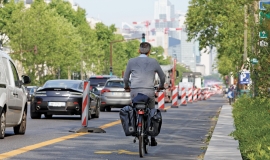
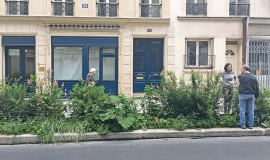
The COVID-19 health crisis that the world is experiencing is constantly shifting behaviors, practices, and lifestyles, pushing cities and people to continually adapt to public health and social measures to reduce the risk of COVID-19 spread. In Paris, the impact of this unprecedented pandemic has prompted us to take swift action, while also questioning the best practices to be implemented.
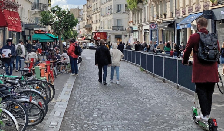
During Spring 2020, several new questions arose.
- Was it necessary to disinfect all sidewalks and street furniture? We needed to study this before definitively ruling it out because of the certainty it would have a negative environmental impact yet the uncertainty of Its benefit.
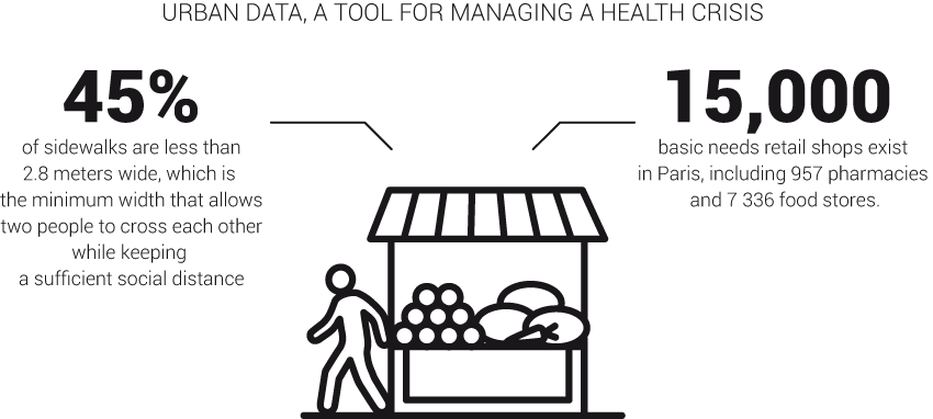
- How can the streets of Paris, the densest city in Europe, be adapted to physical distancing and limit the risks of infection as much as possible?
- How can we help shops, cafés and restaurants survive while helping citizens keep safe and deter the development of contamination clusters?
- How can we adapt mobility to limit pollution, another major health issue that could make the situation worse?
These are all questions that the urban planning agency Atelier parisien d’urbanisme (Apur) has tried to answer, at the request of the City of Paris.
Apur has been working for nearly half a century to build urban databases on Paris and its metropolitan territory. Yesterday’s reference data, today supplemented by numerous thematic datasets, has been rapidly mobilized and cross-referenced to observe evolution at work and, above all, to help the City of Paris and its technical departments to define and propose actions to be implemented to adapt the Paris public space to new public health constraints.
The work carried out by Apur in close collaboration with the City of Paris has thus made it possible to rapidly provide elements of a territorial response to the adaptation of public spaces to make physical distancing possible in an emergency context. Enlarging the space dedicated to pedestrians, closing streets to traffic, setting up temporary bicycle lanes are interesting examples of agility and flexibility in the planning of public spaces.
This project and this document are part of Paris' commitment to combat the COVID-19 pandemic as part of the Partnership for Healthy Cities.
The Partnership for Healthy Cities is a prestigious global network of cities committed to saving lives by preventing noncommunicable diseases (NCDs) and injuries. Supported by Bloomberg Philanthropies in partnership with WHO and Vital Strategies, this initiative enables cities around the world to deliver a high-impact policy or programmatic intervention to reduce NCDs and injuries in their communities. For more information, visit the website.
The Partnership for Healthy Cities COVID-19 Response is part of the $40 million Bloomberg Philanthropies COVID-19 Global Response Initiative. By collaborating with the WHO and Resolve to Save Lives, an initiative of Vital Strategies, the Partnership for Healthy Cities COVID-19 Response is working hand-in-hand with the world’s leading experts on epidemic prevention.

