-
 Interactive map
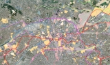
The territorial diagnosis of the Paris Local Urbanism Plan - PLU -
April 2021, last updated 06 June 2023 -
 Interactive map
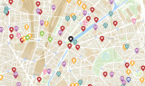
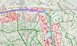
Shops and services in Paris
June 2021 -
 Interactive map
Managing Greater Paris - Grand Paris - sanitation networks
April 2021 -
 Interactive map
“Drives” for cars and pedestrians in Ile-de-France
December 2020 -
 Interactive map
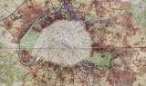
Cassini | Greater Paris - Grand Paris - historical maps from 1728 to the present day
July 2020 -
 Interactive map
How buildings in Paris evolve
January 2020 -
 Interactive map
Service stations in Greater Paris -Métropole du Grand Paris- are facing new energies
May 2019 -
 Interactive map
Evolution of nature in Paris over 3 centuries, from 1730 to 2017
February 2018 -
 Interactive map
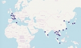
Centre for Solidarity-based and Innovating Economies
November 2017 -
 Interactive map
Urban development projects and transport
November 2017 -
 Interactive map
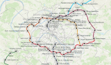
The circular railway line in Paris - La Petite Ceinture
March 2017 -
 Interactive map
Hotels established in the Parisian metropolis
March 2017 -
 Interactive map
Building Atlas of the research university -Paris Sciences et Lettres (PSL)-
November 2015 -
 Interactive map
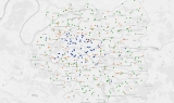
Observatory of Grand Paris station neighbourhoods
September 2015 -
 Interactive map
A fresh look at the economy in Paris
March 2015
Our works
Find here all Apur’s productions, Studies, Notes, Summary Reports, Datavisualisations, etc.
Your search
16 results