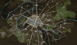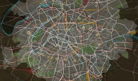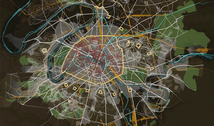
Towards the end of the 19th century Paris was restructured. This began with the Haussmannian boulevards which cut through the city reorganising it and redefining its character. The public spaces created during that period have very notable aspects: width, the allocation of space given to roads, pavements, the design of space, consistently planted roadside trees, services such as supply systems (water, gas, electricity, drinking water fountains, refuse collection and disposal...).
Horsebuses and tramways ran through the larger avenues and boulevards.
The arrival of the railway and train stations disrupted the organisation of the road system. In Paris and main roads were built leading to and from the new stations.
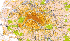
Outside Paris, the new railway infrastructures very often created barriers caused by the railway lines and their “imposed” crossing points or the main sorting and freight stations.
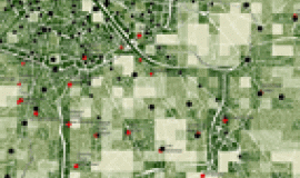
The network was very little developed in agricultural and industrial areas.
This map is a detail taken from the study The road system in the heart of the conurbation – Phase 1: shared diagnostic carried out together by Apur, DRIEA, Societé du Grande Paris, the General Councils of Val-de-Marne and Seine-Saint-Denis, the City of Paris, and with the support of the General Council of Hauts-de-Seine and the Île-de-France public transport company STIF.

