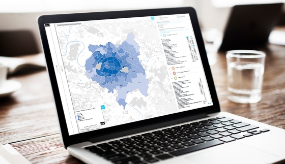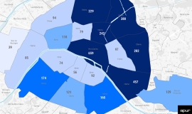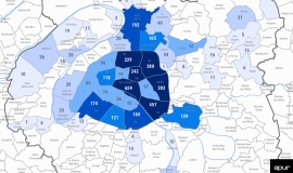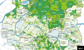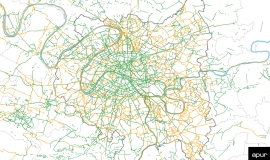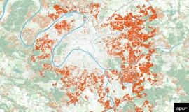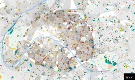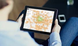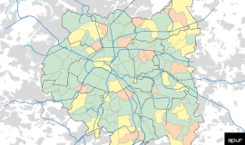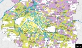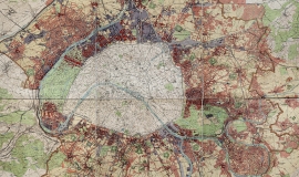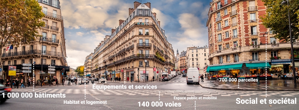
The Open Data platform gives access to a great number of data sets on all scales, throughout both Paris and the Grand Paris metropolis. It offers a range of, often previously unpublished data, which is documented and regularly updated : background reference maps, urban projects, facilities, energy resources and needs, data on water, greening, waste, socio-demographic data, etc.
The Open Data approach initiated by Apur aims to release new data coming from the Agency’s studies on a regular basis thus participating in the metropolitan innovation and sharing public resources.
Each data set, accessible via this platform, as well as other data sets (not shared for licensing reasons or access restrictions), are referenced in a GeoCatalogue (see recent news). This latter integrates a certain number of descriptive elements including notably a summary, the source or sources, the geographic location, utilisation constraints, a description of its attributes, genealogy (make up and updating methods) and the link to the Open Data platform if the data is downloadable. Coherence is guaranteed between the Open Data platform and the catalogue.


