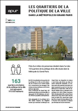
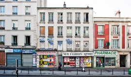
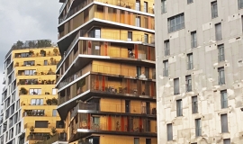
Almost a million people live in the 163 Urban Policy Neighbourhoods that exist in Métropole du Grand Paris.
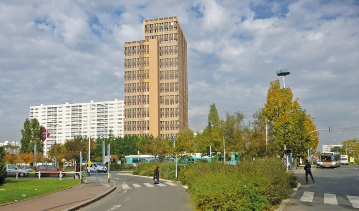
In 2015, the boundaries of Urban Policy Neighbourhoods were redrawn based on the single criteria of the concentration of low income households (incomes below the 60% regional median).
In Métropole du Grand Paris 163 priority neighbourhoods were identified. They encompass 916,000 inhabitants, that is 13% of the metropolitan population in 6% of the total surface area of the territory.
The geography of the Urban Policy clearly shows the social inequalities within the Métropole du Grand Paris. Income disparities are greater here than in other French metropolises.
The majority of the priority neighbourhoods are concentrated in the north and east of Métropole du Grand Paris:
- 60% of the inhabitants live within the boundaries of the Urban Policy area in Plaine Commune,
- 30% in Est Ensemble (T8) and Paris Terres d’Envol (T7),
- between 10% and 20% in Boucle Nord de Seine (T5), Grand Paris Grand Est (T9) and Grand-Orly Seine Bièvre (T12).
In contrast to this the proportion doesn’t reach over 10% in the 6 other Métropole du Grand Paris territories.

