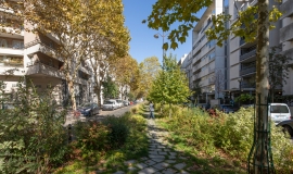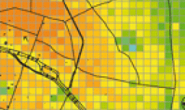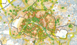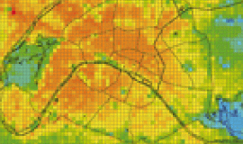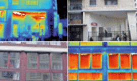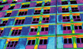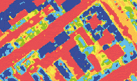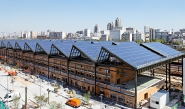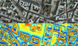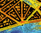
Carried out in liaison with the Urbanism Department of the City of Paris, this Apur study on urban heat islands, Cahier n°2, puts forward a critical reading of digital climate models. It endeavors to capitalize on what can be learnt from these tools by applying them to three examples of Parisian urban fabric and a number of roads.
The pertinence of adaptation measures, concerning the use of water and vegetation, are discussed in relationship to the specificities of urban spaces, their time scales, and their function.
Contents :
Study of three Parisian urban forms
- Description of neighborhoods
- Results of simulations
- Limits of the exercise
Useful information for setting up climate adaptation solutions on a scale of the whole of Paris
- Are the hottest districts also the most polluted?
- Planting lines of trees in Paris
- How to rethink the use of materials in public space
- Functions for which public space is used
Conclusion
Bibliography
Appendix
This study is part of a series of 5 notebooks dedicated to urban heat islands in the heart of the Parisian conglomeration:
- Book 1: Urban heat islands in Paris
- Book 2: Climate simulations and information on three Parisian urban forms
- Book 3: Thermal breezes
- Book 4: Climatic influences of ground surfaces in Paris
-
Book 5: Alleviating urban heat islands - Book n°5: Project design methods and tools

