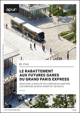
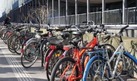
The issue of feeder services within a radius of 2 km around stations, adapting public spaces and organising efficient intermodal options.
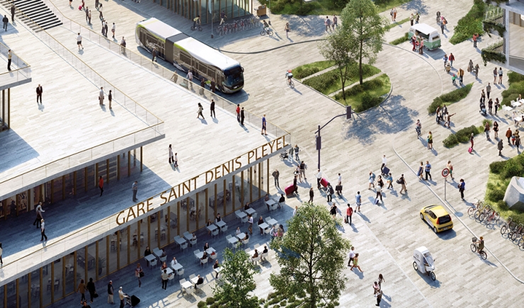
Examples of organising mobility for the last 2 kilometers in Noisy-Champs and Pleyel
The study carried out through 2017 and the beginning of 2018, on feeder services around stations continues to nourish Apur’s forward-looking thinking on the organisation of mobility and the transformation of public spaces in Grand Paris from now to 2030.
The work done in the form of workshops with the study’s key players and partners underlines the importance of working more on the interfaces of station neighbourhoods which are often neglected, “in between territories”.
The study develops the specific challenges facing territories in areas with a 2 km radius, particularly the development of structuring feeder service routes that favour bus lines and bikeways and setting up sustainable mobility hubs that address the particular needs of the inner and outer ring of suburbs -la proche et de la grande couronne-.
Based on the portraits drawn of Saint-Denis-Pleyel and Noisy-Champs, the study also puts forward concrete proposals for reorganising these services using an approach which is complimentary to that of the Comités de Pôle. Structuring feeder routes are illustrated by the development of Rue du Landy in Saint-Denis and the coherent bikeway network plan at Noisy-Champs. The study finally proposes more operational tools for municipalities to, for example, estimate the dimensions for a bicycles parking station at train stations or “mobility information centres” as well as other innovating services to be offered, on the initiative of local key players.
The “in between territories”, cover distances that take 5 to 10 minutes to travel by bus or bike from the station. They are shown to be areas where it is important to organise mobility for the future.

