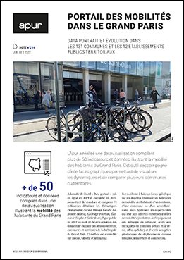
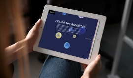
Apur has produced a datavisualisation compiling more than 50 indicators and data which illustrate the mobility of inhabitants in Grand Paris. This tool is accompanied by graphic interfaces that make it possible to visualise the dynamics and compare municipalities and territories.

Data portrait and developments in the 131 municipal communes and 12 territorial establishments
Following the tool “Data Portrait” put online in 2019 and completed in 2021, where one can see and compare 70 detailed and thematic indicators : Demography-Society, Households-Families, Housing-Living conditions, Unemployment-Integration, Economy-Employment and the Living environment, Apur has published, in 2022, a datavisualisation tool on mobility data of neighbourhoods, municipalities and territories in the Grand Paris Metropolis. The interface is accessible on mobile telephones, tablets and computers.
This tool aims to focus specifically on data illustrating the mobility habits of the inhabitants of a territory, a municipality or a neighbourhood, bur also the opportunities they are offered in terms of current and future mobility options (developing equipment for households with vehicles, present and future access to public transport, the bicycle offer) and access to hubs generating transport needs such as jobs, services and shops.
A specific section analyses the vehicle fleet available on the territory (on the basis of Ministerial data from the Department of Statistical Data and Studies - SDES) and particularly the breakdown into Crit’Air categories, in order to understand the volume of the Fleet potentially affected by the implementation of the Mobility Low Emission Zone - ZFE-m - classification.
A second part, enables the spatialisation of mobility data via interactive maps.
The third part, published in partnership with the DRIEAT and made in liaison with the MODUS tool, makes it possible to visualise accessibility from/to a neighbourhood, a municipality or a territory, travelling by road, using an active or public mode of transport, in the present situation and up until 2030.

